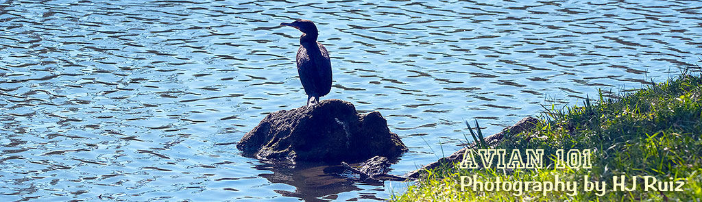
Framed Memories # 46
Photo Gallery

© HJ Ruiz – Avian101
Share this:

Photography of Birds – Set # 275
Set # 275
White-Breasted Nuthatch

The nuthatches are a genus, Sitta, of small passerine birds which derive their English name from the propensity of some species to wedge large insects or seeds into cracks, and then hack at them with their strong bills. Sitta is derived from sittē, the Ancient Greek for nuthatch, and carolinensis means “of Carolina” in Latin. The White-breasted Nuthatch was first described by English ornithologist John Latham in his 1790 work, the Index Ornithologicus.
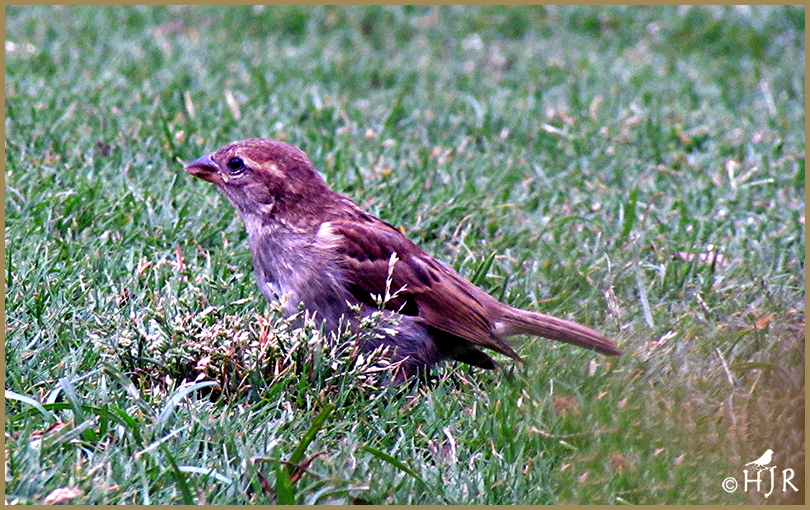
Brown-headed Nuthatch

The Brown-headed Nuthatch is regularly observed using a small chips of bark, small twigs, and pine needles held in its beak as tools to dig for insects. The nuthatch exhibits other curious behaviors such a cooperative groups where groups of 3-5 adults provide care at a single nest. Recent genetic assessments suggest some of the putatively non-breeding adults associated with these groups may actually breed with individuals in neighboring territories. This nuthatch also exhibits a wide range of other social behaviors that include social grooming and male-female duets similar to those observed for the Pygmy Nuthatch.
© HJ Ruiz – Avian101
Share this:

Photography of Birds – Set # 274
Set # 274
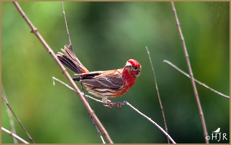
Purple Finch
Adult Purple Finch have a short forked brown tail and brown wings. Adult males are raspberry red on the head, breast, back and rump; their back is streaked. Adult females have light brown upperparts and white underparts with dark brown streaks throughout; they have a white line on the face above the eye.
House Finch
The House Finch are mainly permanent residents throughout their range; some northern and eastern birds migrate south. Their breeding habitat is urban and suburban areas across North America, as well as various semi-open areas in the west from southern Canada to the Mexican state of Oaxaca; the population in central Chiapas may be descended from escaped cagebirds. Analyses of nest records from House Finches in California spanning more than a century found that egg‐laying occurred significantly earlier in warmer springs.
© HJ Ruiz – Avian101
Share this:

Special Places # 17
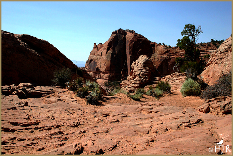
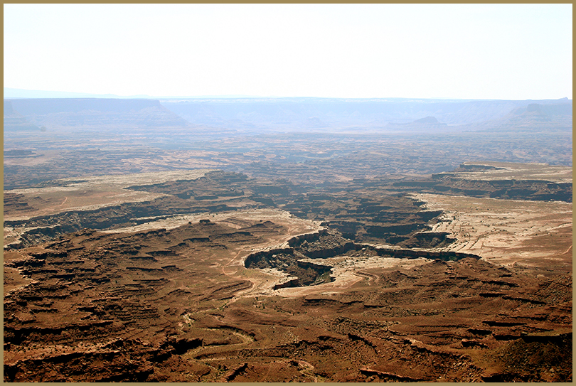
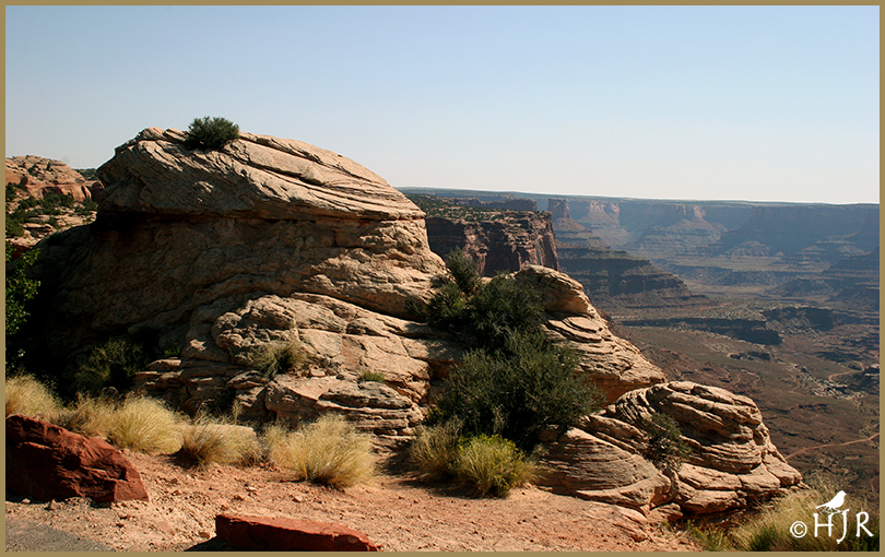
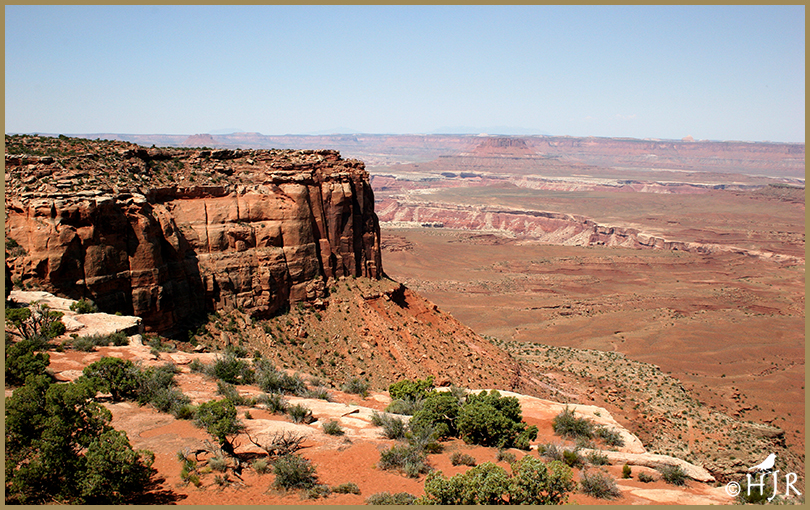
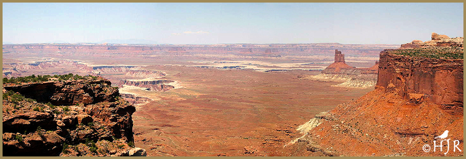
Canyonlands National Park
Canyonlands National Park is an American national park located in southeastern Utah near the town of Moab. The park preserves a colorful landscape eroded into numerous canyons, mesas, and buttes by the Colorado River, the Green River, and their respective tributaries. Legislation creating the park was signed into law by President Lyndon Johnson on September 12, 1964.
Canyonlands is a popular recreational destination. Since 2007, more than 400,000 people have visited the park each year with a record of 776,218 visitors in 2016, representing a 22 percent increase from the prior year. The geography of the park is well suited to a number of different recreational uses. Hikers, mountain bikers, backpackers, and four-wheelers all enjoy traveling the rugged, remote trails within the Park. The White Rim Road traverses the White Rim Sandstone level of the park between the rivers and the Island in the Sky. Since 2015, day-use permits must be obtained before travelling on the White Rim Road due to the increasing popularity of driving and bicycling along it. The park service’s intent is to provide a better wilderness experience for all visitors while minimizing impacts on the natural surroundings.
As of 2016, the Island in the Sky district, with its proximity to the Moab, Utah area, attracts 76.7 percent of total park visitors. The Needles district is the second most visited, drawing 20.7 percent of visitors. The remote Maze district accounts for only about 1.5 percent of visitors, while river rafters and other river users account for the remaining 1.1 percent of total park visitation.
The Colorado River and Green River combine within the park, dividing it into three districts called the Island in the Sky, the Needles, and the Maze. The Colorado River flows through Cataract Canyon below its confluence with the Green River.
The Island in the Sky district is a broad and level mesa in the northern section of the park, between the Colorado and Green rivers. The district has many viewpoints overlooking the White Rim, a sandstone bench 1,200 feet (370 m) below the Island, and the rivers, which are another 1,000 feet (300 m) below the White Rim.
The Needles district is located south of the Island in the Sky, on the east side of the Colorado River. The district is named for the red and white banded rock pinnacles which are a major feature of the area. Various other naturally sculpted rock formations are also within this district, including grabens, potholes, and arches. Unlike Arches National Park, where many arches are accessible by short to moderate hikes, most of the arches in the Needles district lie in backcountry canyons, requiring long hikes or four-wheel drive trips to reach them.
The Ancestral Puebloans inhabited this area and some of their stone and mud dwellings are well-preserved, although the items and tools they used were mostly removed by looters. The Ancestral Puebloans also created rock art in the form of petroglyphs, most notably on Newspaper Rock along the Needles access road.
The Maze district is located west of the Colorado and Green rivers. The Maze is the least accessible section of the park, and one of the most remote and inaccessible areas of the United States.
| Location | San Juan, Wayne, Garfield, and Grand counties, Utah, United States |
| Nearest city | Moab, Utah |
| Coordinates | 38°10′01″N 109°45′35″W |
| Area | 337,598 acres (1,366.21 km2) |
| Established | September 12, 1964 |
| Visitors | 733,996 (in 2019) |
| Governing body | National Park Service |
| Website | Canyonlands National Park |
Photo Gallery


© HJ Ruiz – Avian101
Share this:

Read Past Reviews

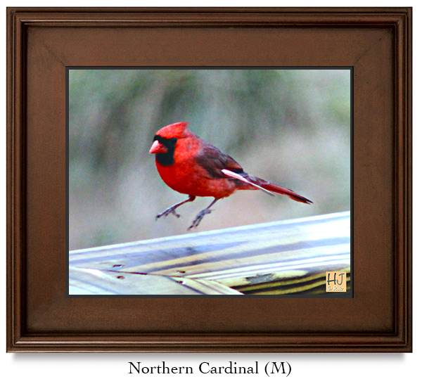
Book # 69

Quote from the Author
“A good chuckle is healthy, it helps you break the monotony of a serious life.” ~ H.J. Ruiz

You must be logged in to post a comment.